UNLIMITED POSSIBILITIES

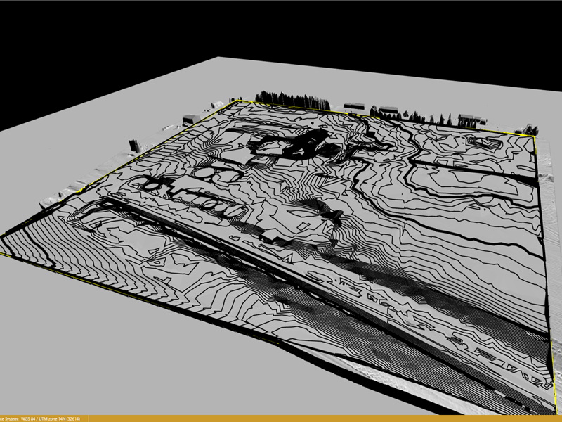
Survey Grade Topographic Mapping
Easily share detailed information with contractors,
earthmoving companies, surveyors, and more

Drafting and Design Consulting
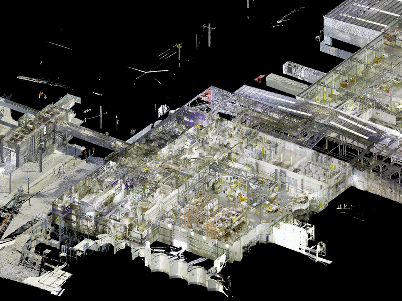
Map large work sites to acquire detailed precise data using terrestrial scanners to create 3D models. This helps your team optimize project planning and designs.

Geospatial As-Built Point Clouds
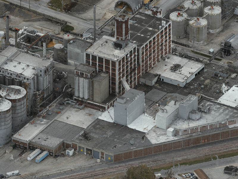
Fly existing and greenfield sites and create 3D point clouds for use in as-built construction.

Utilizing Autodesk Design Suite using the point cloud
The future of project management
We provide services for Architecture, Engineering & Construction clients from early-stage design through to construction to completion of the project and beyond.
We specialize in Agricultural Industrial Planning and Design, but we can tailor work to any industry.
About us:
ScanStar, LLC is a U.S. Military Veteran owned small business offering scan design consulting services for architectural, civil, and structural engineering.
We commonly work with the construction firms engaged in design-build, design-bid-build, or concept engineering projects.
Our team has a combined 25+ years of experience in the grain and dry material handling industry.
This knowledge extends into the residential and commercial sectors.
- SAM Certified
- 25+ years combined experience in Ag/Industrial Industry
- Extensive Experience in Agricultural / Industrial Design and Construction
- Focus on building relationships
- Interior/Exterior Scanning
- Survey-Grade accuracy
- Existing facility documentation
- Most accurate form of existing facility Documentation
- Cut/Fill Take-Offs
- Green field terrain mapping
- Contoured Site Plans delivered in CAD format
- Geo-Located (UTM) CAD models
- Rail Corridor scanning and mapping
- Critical Pick verification
- Anchor Bolt verification
- Create a 3-D CAD model of your undocumented facility
- Best form of documentation available
- Exponentially more accurate than your tape measure
- Point Cloud delivered in most Autodesk Formats
- Federally Certified Commercial Drone Pilots
- Service-Disabled Small Business
- Veteran-Owned Small Business
- Federally Licensed Contractors
